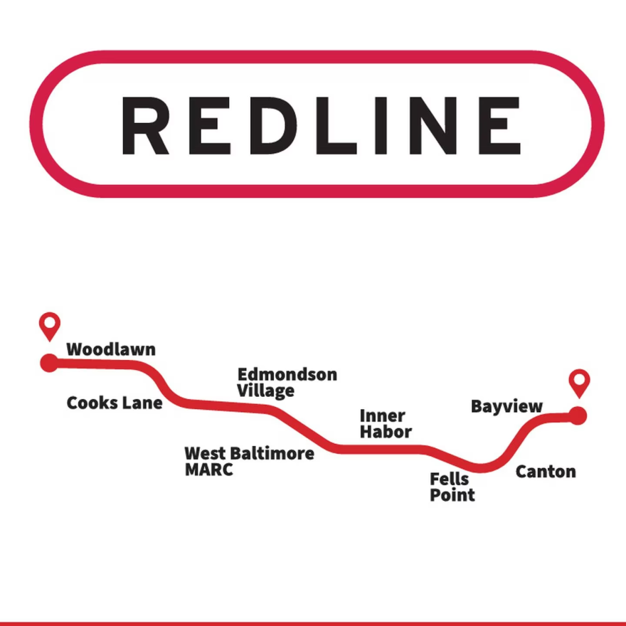
The Red Line maps are in.
The Maryland Transit Administration released three potential alignments for the future east-west megaproject Thursday afternoon, providing a first look at what will be Baltimore’s biggest public transportation project in decades.
Three separate maps show a roughly 15-mile route connecting Woodlawn and Johns Hopkins Bayview Medical Center through downtown. Each map has two options, one for light rail and another for bus rapid transit, or BRT.
Two alternatives would include the construction of a tunnel underneath downtown, with a western portal along U.S. 40′s infamous “Highway to Nowhere” and an eastern counterpart along Boston St. in Canton. A smaller tunnel would cross underneath Cooks Lane between Baltimore and Baltimore County. These plans most closely resemble the Red Line proposal former Gov. Larry Hogan killed in 2015.
The remaining four alignments forego a tunnel, planning only for surface-level light rail or BRT service.
Two routes would offer connections to both the existing north-south light rail at its Howard St. stop and the lone Metro subway line at both Charles Center and Shot Tower. These routes utilize both W. Baltimore St. and W. Lombard St. to cross downtown between Martin Luther King Jr. Blvd. and President St.
Another two options utilize W. Pratt St. for the cross-town schlep. These alternatives would connect to the existing light rail at the Convention Center but would not offer a connection to the Metro subway.
All route alignments offer connection to the West Baltimore MARC station.
The story continues at the Baltimore Banner: Maryland releases three potential Red Line routes, each with rail and bus options
WYPR and The Baltimore Banner have a joint operating agreement that allows the nonprofit organizations to work collaboratively to deliver quality journalism across the region. To learn more about the partnership, click here.


